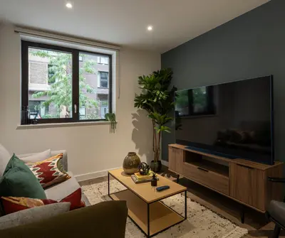
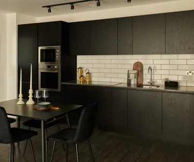
1/29
New home
£2,700 pcm
Flat · 2 beds · 2 baths · 786 sq ft
Capital Interchange Way, Brentford, TW8
Added on 18/10/2026 
Completed
ila has 12 developments on Homello. Homes in Kew Bridge sold for a median £445,000 over the last year, £634 per sq ft; see house prices in Kew Bridge.
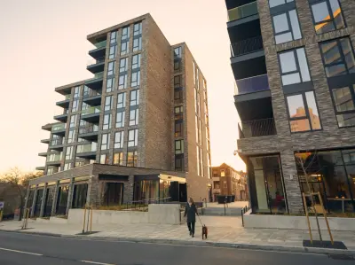
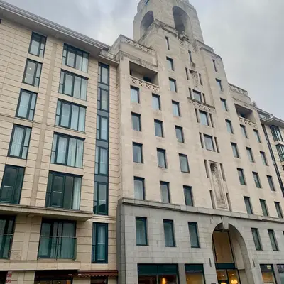
Kew Curve is ila’s rental development on Capital Interchange Way in Brentford, close to Kew Bridge. Its published range includes one-, two- and three-bedroom apartments, with shared spaces for work, exercise and socialising. Kew Bridge station is nearby, while Chiswick High Road, Gunnersbury Park and the wider Kew area provide local destinations.
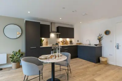
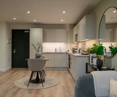
Residents can use a gym, co-working lounge and private dining room. A roof terrace, terrace lounge and reception lounge add indoor and outdoor communal space. The operator provides an on-site team and maintenance support, with its app used for tenancy administration and resident requests. Pets are welcome. The community offer also includes organised events and local discounts; apartment specification and current furnishing options vary by home.
Estate agents list 4 homes to rent at Kew Curve. Agent listings do not say whether a home is new or a resale, so this may be either.
Kew Curve is an ila development in London, Greater London. ila has 12 developments listed on Homello.
Rents at Kew Curve start from £2,695 a month, going by the homes estate agents are letting there. 4 homes are to rent there right now.
Kew Curve is marked "now selling", completed. Use the enquiry button to check current availability with ila.
The median sold price in Kew Bridge was £445,000 over the last 12 months (184 sales, −7.3% on the year before), or £634 per square foot, from HM Land Registry data. The house prices in Kew Bridge page has the trend, prices by property type and every street.
1-4 Capital Interchange Way, TW8 0EX
Within half a mile: 33 restaurants and cafes, 9 pubs and bars, 7 takeaways.
Straight-line distances; actual routes will be longer. Stations from NaPTAN, with their lines powered by TfL Open Data; schools from the Department for Education register, with the latest Ofsted signal; supermarkets from Geolytix Retail Points; places to eat from the Food Standards Agency's register of food businesses.
The Hounslow neighbourhood around this development.
Sources: HM Land Registry price paid data, Police.uk, Historic England, ONS Census 2021, Ofcom Connected Nations, Environment Agency. Planning offices.

The rent shown is the lowest of the homes estate agents are letting here.
Details last confirmed on 29 October 2026.