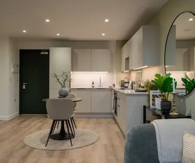
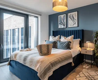
Alperton Depot by ila · 330 Ealing Road, London, Greater London HA0 4GS
Completed
ila has 12 developments on Homello. Homes in Wembley sold for a median £490,000 over the last year, £563 per sq ft; see house prices in Wembley.
About Alperton Depot
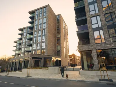
Alperton Depot is ila’s rental community on Ealing Road in north-west London. It offers studios and apartments with one, two or three bedrooms, alongside shared spaces for working and spending time with neighbours. The development is close to Alperton Underground station, with local shops and the canal-side neighbourhood around it.
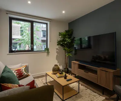
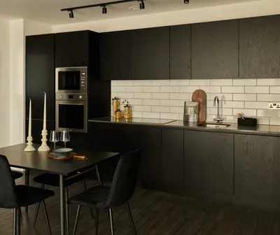
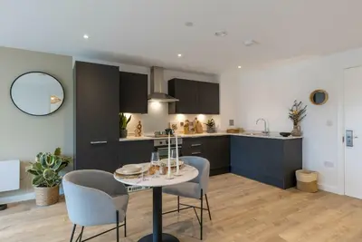
Residents have access to roof and ground-floor terraces, lounges and a co-working area. A reception and on-site team support day-to-day living, with maintenance requests and tenancy administration available through the resident app. The operator welcomes pets and advertises community events and local offers. Horsenden Hill, One Tree Hill and Wembley are among the surrounding places highlighted by the scheme. Confirm the individual home’s layout and available furnishing options before reserving.
- Developer
- ila
- City
- Greater London
- Neighbourhood
- London
- Postcode
- HA0 4GS
- Address
- 330 Ealing Road
- Tenure
- Build to rent
Facilities
- Roof terrace
- Outdoor terrace
- Residents’ lounge
- Co-working
- On-site management
- On-site maintenance
- Pet friendly
Questions about Alperton Depot
›Who is the developer of Alperton Depot?
Alperton Depot is an ila development in London, Greater London. ila has 12 developments listed on Homello.
›Are homes available to rent at Alperton Depot?
Alperton Depot is marked "now selling", completed. Use the enquiry button to check current availability with ila.
›What are house prices like in Wembley?
The median sold price in Wembley was £490,000 over the last 12 months (425 sales, −6.9% on the year before), or £563 per square foot, from HM Land Registry data. The house prices in Wembley page has the trend, prices by property type and every street.
Location
330 Ealing Road, HA0 4GS
Nearest stations
- Alperton Station <0.1 milesPiccadilly line
- Hanger Lane Station 0.8 milesCentral line
- Wembley Central Station 0.9 milesBakerloo & Lioness lines · Southern
- Sudbury Town Station 1.0 milesPiccadilly line
Nearest schools
- Alperton Community School 0.4 milesSecondary · ages 11–18 Good
- The Corner School 0.5 milesSpecial · ages 5–11
- Perivale Primary School 0.5 milesPrimary · ages 3–11 Outstanding
- St John Fisher Catholic Primary School 0.5 milesPrimary · ages 3–11 Good
Nearest supermarkets
- Lidl Supermarket <0.1 miles
- Sainsburys Superstore 0.2 miles
- Asda Express Convenience store 0.4 miles
- Tesco Express Convenience store 0.6 miles
Eating out nearby
Within half a mile: 31 restaurants and cafes, 1 pub or bar, 45 takeaways.
- The Apple Tree 0.1 milesRestaurant or cafe
- Noyo Food 0.1 milesTakeaway
- The Clay Oven Banqueting Suite 0.1 milesRestaurant or cafe
- Amols Vada Pav 0.1 milesRestaurant or cafe
Straight-line distances; actual routes will be longer. Stations from NaPTAN, with their lines powered by TfL Open Data; schools from the Department for Education register, with the latest Ofsted signal; supermarkets from Geolytix Retail Points; places to eat from the Food Standards Agency's register of food businesses.
Area insights
The Brent neighbourhood around this development.
Sources: HM Land Registry price paid data, Police.uk, Historic England, ONS Census 2021, Ofcom Connected Nations, Environment Agency. Planning offices.

Register for launch pricing and availability.
Details last confirmed on 21 October 2026.