1/2
£1,250 pcm
Flat · 2 beds · 2 baths
City Road, Manchester, M15
Available from 10 Dec 2026
Added on 13/10/2026 
Homes in Manchester sold for a median £250,000 over the last year, £291 per sq ft; see house prices in Manchester.
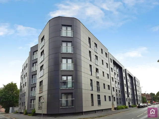
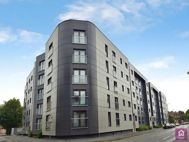
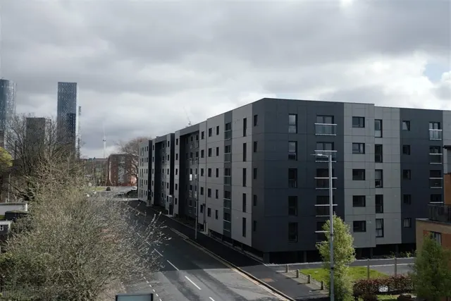
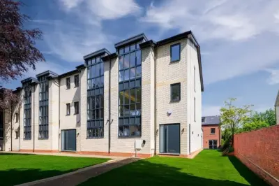
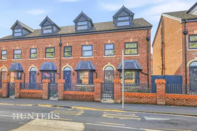
The Bailey is a new build development in Manchester, Greater Manchester (M15 4ZX). The homes are on and around City Road. On 10 October 2026 estate agents were marketing 1 new home here, 2 bedrooms, at asking prices from £280,000.
This page was made on 10 October 2026 from estate agents' listings for the development. The homes listed below are the agents' current listings, and the prices shown are their asking prices.
Estate agents list one home for sale and 8 to rent at The Bailey. Agent listings do not say whether a home is new or a resale, so this may be either.
Prices at The Bailey start from around £280,000 for 2 bedroom homes (the lowest asking price of the new homes estate agents are listing here, so treat it as a guide). 9 homes are listed by estate agents at the scheme right now, which may be new or resale.
The Bailey is marked "now selling". Use the enquiry button to check current availability with the developer.
The median sold price in Manchester was £250,000 over the last 12 months (10,345 sales, +0.0% on the year before), or £291 per square foot, from HM Land Registry data. The house prices in Manchester page has the trend, prices by property type and every street.
City Road, Manchester, Greater Manchester, M15 4ZX
Within half a mile: 12 restaurants and cafes, 1 pub or bar, 6 takeaways.
Straight-line distances; actual routes will be longer. Stations from NaPTAN, with their lines powered by TfL Open Data; schools from the Department for Education register, with the latest Ofsted signal; supermarkets from Geolytix Retail Points; places to eat from the Food Standards Agency's register of food businesses.
The Manchester neighbourhood around this development.
Sources: HM Land Registry price paid data, Police.uk, Historic England, ONS Census 2021, Ofcom Connected Nations, Environment Agency. Planning offices.
Register for launch pricing and availability.
Details last confirmed on 21 October 2026.