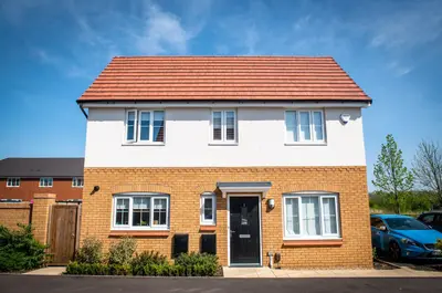
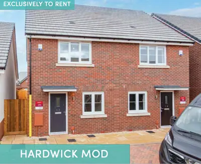
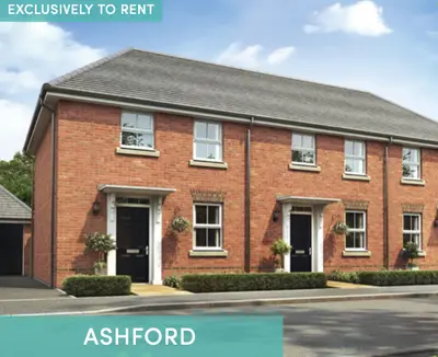
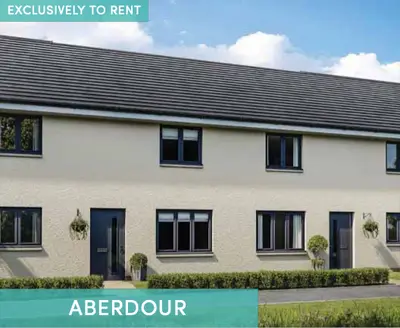
Kilnbrook Place by Simple Life · Chester Lane, St Helens, Merseyside WA9 4DR
Completed
Simple Life has 61 developments on Homello. Homes in St Helens sold for a median £178,000 over the last year, £208 per sq ft; see house prices in St Helens.
About Kilnbrook Place
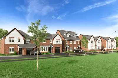
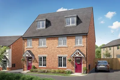
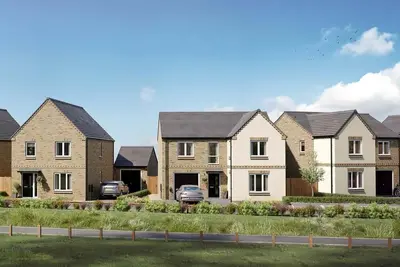
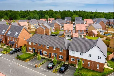
Kilnbrook Place is Simple Life’s rental housing development on Chester Lane in St Helens. The current operator page advertises two-, three- and four-bedroom homes exclusively to rent. The location offers access to shops, schools and leisure facilities in St Helens, with woodland and nature reserves in the surrounding area.
Lea Green railway station and the M62 provide connections beyond the town. Published scheme benefits include car parking, green space, pet-friendly homes and repairs and maintenance. Round-the-clock customer care and annual resident events are also listed. Electric vehicle charge-point readiness is advertised; this should be checked with the operator because preparation for a charger does not confirm an installed or usable charging service. Parking arrangements and the individual home specification should be confirmed when enquiring.
- Developer
- Simple Life
- City
- Merseyside
- Neighbourhood
- St Helens
- Postcode
- WA9 4DR
- Address
- Chester Lane
- Tenure
- Build to rent
Facilities
- Pet friendly (Pet application required; no extra monthly charge)
- Parking (Confirm the individual home allocation)
- Maintenance and repairs
Questions about Kilnbrook Place
›Who is the developer of Kilnbrook Place?
Kilnbrook Place is a Simple Life development in St Helens, Merseyside. Simple Life has 61 developments listed on Homello.
›Are homes available to rent at Kilnbrook Place?
Kilnbrook Place is marked "now selling", completed. Use the enquiry button to check current availability with Simple Life.
›What are house prices like in St Helens?
The median sold price in St Helens was £178,000 over the last 12 months (1,484 sales, −1.1% on the year before), or £208 per square foot, from HM Land Registry data. The house prices in St Helens page has the trend, prices by property type and every street.
Location
Chester Lane, WA9 4DR
Nearest stations
- Lea Green Station 0.4 milesNorthern, TransPennine
- St Helens Junction Station 1.3 milesNorthern
- Rainhill Station 1.7 milesNorthern
- Thatto Heath Station 1.8 milesNorthern
Nearest schools
- St Theresa's Catholic Primary School 0.3 milesPrimary · ages 3–11 Expected standard
- Ash Meadow School 0.3 milesSpecial · ages 5–19
- Willow Tree Primary School 0.4 milesPrimary · ages 3–11
- The Sutton Academy 0.5 milesSecondary · ages 11–18 Expected standard
Nearest supermarkets
- Morrisons Daily Convenience store 0.1 miles
- Heron Convenience store 0.1 miles
- Aldi Supermarket 0.2 miles
- Spar Convenience store 0.6 miles
Eating out nearby
Within half a mile: 2 restaurants and cafes, 1 pub or bar, 4 takeaways.
- Algrante's Coffee Shop 0.1 milesRestaurant or cafe
- Golden Fish Supper Bar 0.1 milesTakeaway
- Continental Clock Face Pizza 0.1 milesTakeaway
- Bull and Dog 0.4 milesPub or bar
Straight-line distances; actual routes will be longer. Stations from NaPTAN, with their lines powered by TfL Open Data; schools from the Department for Education register, with the latest Ofsted signal; supermarkets from Geolytix Retail Points; places to eat from the Food Standards Agency's register of food businesses.
Area insights
The St. Helens neighbourhood around this development.
Sources: HM Land Registry price paid data, Police.uk, Historic England, ONS Census 2021, Ofcom Connected Nations, Environment Agency. Planning offices.

Register for launch pricing and availability.
Details last confirmed on 21 October 2026.