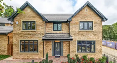
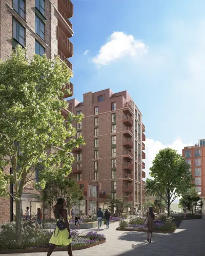
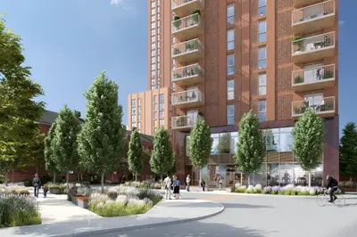
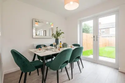
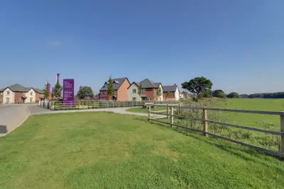
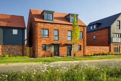
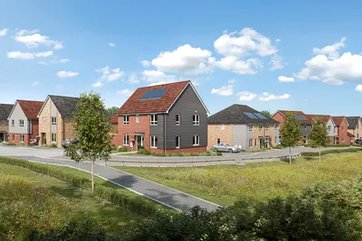
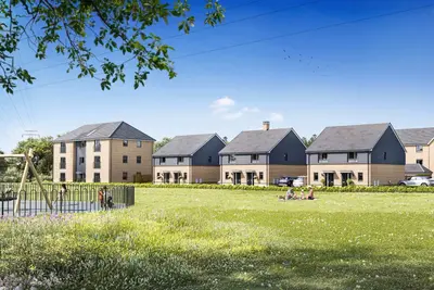
Frobisher Meadows by Taylor Wimpey · Station Road, Altofts, West Yorkshire WF6 2NB
Under construction
Taylor Wimpey has 252 developments on Homello. Homes in Normanton sold for a median £200,000 over the last year, £213 per sq ft; see house prices in Normanton.
About Frobisher Meadows
Frobisher Meadows is a new build development by Taylor Wimpey in Altofts, West Yorkshire (WF6 2NB). The sales address is Station Road. Availability and prices are read from Taylor Wimpey's own website (taylorwimpey.
co.uk) and were last checked on 2026-09-04. Viewings and reservations are handled by the developer's sales team, and the plots listed on this page change as homes are released and sold.
- Developer
- Taylor Wimpey
- City
- West Yorkshire
- Neighbourhood
- Altofts
- Postcode
- WF6 2NB
- Address
- Station Road, Altofts, West Yorkshire
- Tenure
- For sale
Questions about Frobisher Meadows
›Who is the developer of Frobisher Meadows?
Frobisher Meadows is a Taylor Wimpey development in Altofts, West Yorkshire. Taylor Wimpey has 252 developments listed on Homello.
›Is Frobisher Meadows still selling?
Frobisher Meadows is marked "now selling", under construction. Use the enquiry button to check current availability with Taylor Wimpey.
›What are house prices like in Normanton?
The median sold price in Normanton was £200,000 over the last 12 months (261 sales, +8.1% on the year before), or £213 per square foot, from HM Land Registry data. The house prices in Normanton page has the trend, prices by property type and every street.
Location
Station Road, Altofts, West Yorkshire, WF6 2NB
Nearest stations
- Normanton Station 0.1 milesNorthern, TransPennine
- Streethouse Station 2.1 milesGrand Central, Northern
- Wakefield Kirkgate Station 3.1 milesGrand Central, Northern, TransPennine
- Featherstone Station 3.2 milesNorthern
Nearest schools
- Altofts Junior Academy 0.1 milesPrimary · ages 7–11 Good
- Lee Brigg Infant and Nursery School 0.4 milesPrimary · ages 3–7 Strong standard
- Normanton Junior Academy 0.4 milesPrimary · ages 7–11 Good
- Normanton All Saints CofE Infant School 0.5 milesPrimary · ages 3–7
Nearest supermarkets
- Lidl Large supermarket 0.2 miles
- Asda Supermarket Supermarket 0.4 miles
- Farmfoods Convenience store 0.4 miles
- Sainsburys Local Convenience store 1.0 miles
Eating out nearby
Within half a mile: 9 restaurants and cafes, 5 pubs and bars, 8 takeaways.
- Dollys Deli 0.2 milesTakeaway
- Pizza Man 0.2 milesTakeaway
- Canton Takeaway 0.2 milesTakeaway
- Toast Coffee House 0.2 milesRestaurant or cafe
Straight-line distances; actual routes will be longer. Stations from NaPTAN, with their lines powered by TfL Open Data; schools from the Department for Education register, with the latest Ofsted signal; supermarkets from Geolytix Retail Points; places to eat from the Food Standards Agency's register of food businesses.
Area insights
The Wakefield neighbourhood around this development.
Sources: HM Land Registry price paid data, Police.uk, Historic England, ONS Census 2021, Ofcom Connected Nations, Environment Agency. Planning offices.

We have not been able to confirm current prices here recently.
Checked on the Taylor Wimpey website on 28 October 2026.