Bracewell Gardens by Gleeson Homes · New Road, Barnoldswick, Earby, Lancashire BB18 6XA
Gleeson Homes has 73 developments on Homello. Homes in Barnoldswick sold for a median £160,000 over the last year, £167 per sq ft; see house prices in Barnoldswick.
About Bracewell Gardens
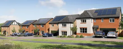
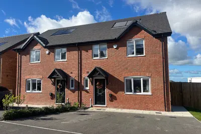
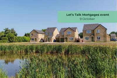
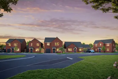
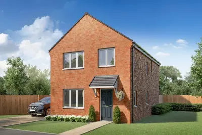
Development Overview Bracewell Gardens is a new build development of 50 affordable homes by Gleeson Homes, located on New Road in the picturesque town of Earby, Lancashire (BB18 6XA), situated close to the border of the Yorkshire Dales National Park and the Forest of Bowland. Gleeson Homes focuses on providing low-cost, quality housing, helping to make homeownership achievable across the North of England and the Midlands. The development offers a collection of 2, 3, and 4-bedroom house types.
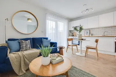
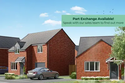
Property Details and Specifications The house designs cater to modern living, including styles with spacious living rooms and open-plan kitchen/dining areas, with many designs featuring French doors opening directly onto the rear garden. Standard specifications across the development are practical and comprehensive for a new build home. All properties are provided with turfed front and rear gardens, full 6ft timber fencing, a handy outside tap, and a secure gate. Internal specifications typically include an open-plan kitchen and dining area with high-quality Symphony units, Beko Appliances, and family bathrooms finished with Porcelanosa tiling. Homebuyers benefit from a 10-Year NHBC Buildmark Warranty, with the first two years covered directly by Gleeson. Purchasers should note that as a low-cost builder, the general consensus of the developer's track record includes mixed reviews regarding the initial finish and the snagging process post-completion, though many buyers report a positive experience due to the affordability of the homes. Location and Local Amenities Bracewell Gardens benefits from a central, convenient location, being less than a two-minute walk from the village high street (Victoria Road). Local amenities on or near the high street include a large Co-operative convenience store, a post office, D D's Deli, a local butcher, and the independent café Humble Pie. For families, Earby Springfield Primary School is located just 0.4 miles from the development. Transport Links The development is well-connected for local and regional travel. Earby sits on the A56 road, which provides direct access to the M65 motorway, facilitating commutes to Burnley, Blackburn, and Preston. The A59, approximately 3.4 miles away, offers routes towards Clitheroe and Preston. The Earby bus station is within a five-minute walk, providing regular services (e.g., Service 280) to destinations including Skipton, Colne, Barnoldswick, and Preston. For rail travel, Colne station is approximately 5.0 miles away, offering services to Burnley and Preston, while Skipton station (approx. 7.1 miles) provides onward connections to Leeds, Bradford, and Carlisle. Specific incentives, such as deposit contributions or Part Exchange, are available on select plots; interested parties must contact the developer's Sales Executive for up-to-date and plot-specific details on pricing, layouts, and viewing arrangements.
- Developer
- Gleeson Homes
- City
- Lancashire
- Neighbourhood
- Barnoldswick
- Postcode
- BB18 6XA
- Address
- New Road, Barnoldswick, Earby
- Total homes
- 8
- Tenure
- For sale
Questions about Bracewell Gardens
›Who is the developer of Bracewell Gardens?
Bracewell Gardens is a Gleeson Homes development in Barnoldswick, Lancashire. Gleeson Homes has 73 developments listed on Homello.
›What are house prices like in Barnoldswick?
The median sold price in Barnoldswick was £160,000 over the last 12 months (257 sales, +6.7% on the year before), or £167 per square foot, from HM Land Registry data. The house prices in Barnoldswick page has the trend, prices by property type and every street.
›What type of homes are at Bracewell Gardens?
Bracewell Gardens offers houses, 8 homes in total. Homes are sold outright by Gleeson Homes.
Location
New Road, Barnoldswick, Earby, BB18 6XA
Nearest stations
- Colne Station 4.4 milesNorthern
- Gargrave Station 4.7 milesNorthern
- Cononley Station 5.4 milesNorthern
- Skipton Station 5.7 milesLNER, Northern
Nearest schools
- Earby Springfield Primary School 0.4 milesPrimary · ages 4–11 Good
- Salterforth Primary School 1.2 milesPrimary · ages 4–11
- Kelbrook Primary School 1.3 milesPrimary · ages 4–11 Good
- Coates Lane Primary School 1.3 milesPrimary · ages 4–11 Good
Nearest supermarkets
- The Co-operative Food Convenience store <0.1 miles
- Spar Convenience store 1.4 miles
- Spar Convenience store 1.6 miles
- Spar Convenience store 1.6 miles
Eating out nearby
Within half a mile: 5 restaurants and cafes, 3 pubs and bars, 3 takeaways.
- Jade Palace <0.1 milesRestaurant or cafe
- Humble Pie <0.1 milesRestaurant or cafe
- Orient Pearl 0.1 milesTakeaway
- Morgans Cafe 0.1 milesRestaurant or cafe
Straight-line distances; actual routes will be longer. Stations from NaPTAN, with their lines powered by TfL Open Data; schools from the Department for Education register, with the latest Ofsted signal; supermarkets from Geolytix Retail Points; places to eat from the Food Standards Agency's register of food businesses.
Area insights
The Pendle neighbourhood around this development.
Sources: HM Land Registry price paid data, Police.uk, Historic England, ONS Census 2021, Ofcom Connected Nations, Environment Agency. Planning offices.

We have not been able to confirm current prices here recently.