1/26
£350,000
Detached · 4 beds · 3 baths
Brassington Road, Stone, ST15
Freehold
Added on 20/10/2026 
Persimmon Homes has 229 developments on Homello. Homes in Stone sold for a median £260,000 over the last year, £275 per sq ft; see house prices in Stone.
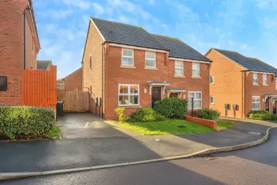
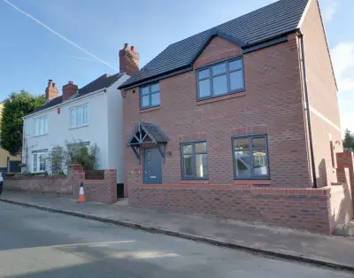
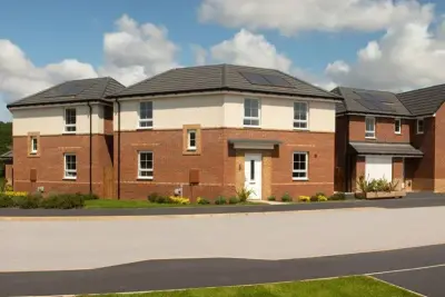
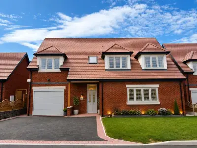
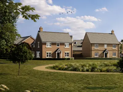
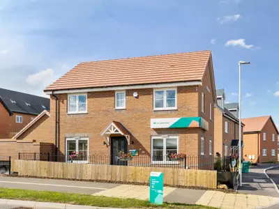
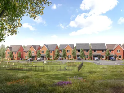
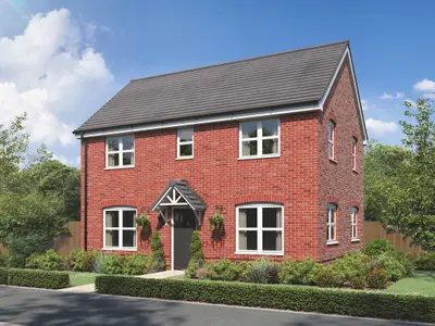
Udall Grange is a substantial new build homes development by Persimmon Homes, located on Eccleshall Road in the market town of Stone, Staffordshire (ST15 0BY). The scheme is a major project, which is scheduled to deliver a total of 478 new properties, and is being released in phases. The initial phases one and two, comprising 264 properties, have been completed, and the current Phase Three release is adding a further 82 houses to the community, with plots now available for reservation.
The development’s name, Udall Grange, was chosen in memory of a valued former site manager. The development provides a range of property types designed to accommodate various buyer profiles, including first-time buyers, professionals, and growing families. The offering spans two, three, four, and five-bedroom homes. Specific house styles cited in the development's launch materials include the two-bedroom Alnwick, the three-bedroom Hanbury, and the four-bedroom Roseberry and Lumley designs, suggesting a variety of layouts. Udall Grange is positioned strategically on the main Eccleshall Road, placing it equidistant between the key regional employment centres of Stafford and Stoke-on-Trent. Road Transport: The location offers quick vehicle access to major commuter routes. The development sits between Junctions 14 and 15 of the M6 motorway, which can typically be reached within a 10-15 minute drive. The A34, running between Birmingham and Manchester, is also easily accessible. Public Transport: Stone (Staffs) railway station is located approximately 1.3 miles from the site. The station operates on the West Coast Main Line and provides regular train services, via West Midlands Railway, directly to Crewe and Stafford, with onward connections available at those hubs. Local bus connectivity is provided by the First Potteries' Route 101, which runs between Stafford and Stoke-on-Trent. Stone is a historic market town known for its semi-pedestrianised high street, offering a blend of independent and high street shops, cafes, and restaurants. The town is a known 'foodie' destination, hosting the popular monthly Farmers’ Market on the first Saturday of the month, as well as an annual Food & Drink Festival. For leisure and recreation, residents have access to the amenities at Alleyne’s Sports Centre, which includes sports facilities and a swimming pool, and Westbridge Park Fitness Centre, offering a gym and fitness studios. The town’s heritage as a canal settlement is preserved by the Trent & Mersey Canal and the River Trent, providing towpaths for walking and cycling. The local area is noted for having a selection of high-rated schools. Udall Grange, as a Persimmon Homes development, offers several purchase assistance schemes, including the Deposit Boost (a 5% contribution), Part Exchange, and the Own New Rate Reducer scheme, subject to terms and eligibility criteria. Prospective buyers are advised to contact the on-site sales team directly for the latest plot availability, specific house type features, and current pricing for available three, four, and five-bedroom homes, as well as to arrange a viewing of the showhomes.
Estate agents list one home for sale at Udall Grange. Agent listings do not say whether a home is new or a resale, so this may be either.
Udall Grange is a Persimmon Homes development in Stone, Staffordshire. Persimmon Homes has 229 developments listed on Homello.
The median sold price in Stone was £260,000 over the last 12 months (326 sales, +0.0% on the year before), or £275 per square foot, from HM Land Registry data. The house prices in Stone page has the trend, prices by property type and every street.
Udall Grange offers houses and apartments, 478 homes in total. Homes are sold outright by Persimmon Homes.
Udall Grange, Eccleshall Road, Stone, Staffordshire, ST15 0BY
Within half a mile: 6 restaurants and cafes.
Straight-line distances; actual routes will be longer. Stations from NaPTAN, with their lines powered by TfL Open Data; schools from the Department for Education register, with the latest Ofsted signal; supermarkets from Geolytix Retail Points; places to eat from the Food Standards Agency's register of food businesses.
The Stafford neighbourhood around this development.
Sources: HM Land Registry price paid data, Police.uk, Historic England, ONS Census 2021, Ofcom Connected Nations, Environment Agency. Planning offices.

We have not been able to confirm current prices here recently.