The Waterside at Royal Worcester by Berkeley Homes · Worcester, Worcestershire WR1 2NX
Berkeley Homes has 200 developments on Homello. Homes in Worcester sold for a median £287,000 over the last year, £311 per sq ft; see house prices in Worcester.
About The Waterside at Royal Worcester
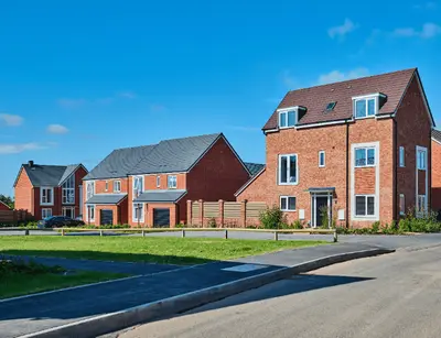
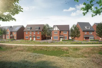
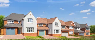
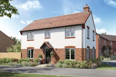
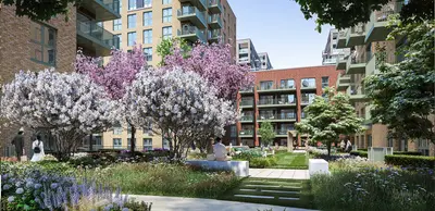
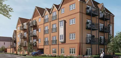
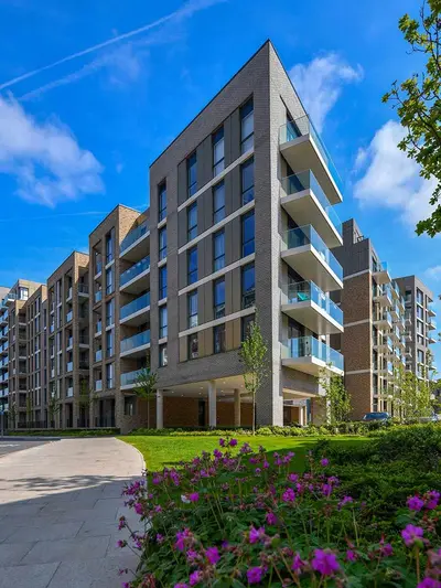
The Waterside at Royal Worcester, developed by the multi-award-winning Berkeley Group, is a distinguished canalside development situated in the heart of Worcester's historic WR1 2NX postcode, on the former site of the Royal porcelain factory. Completed and fully sold, the development represents a benchmark for high-specification living and skiful regeneration, making it a key focus for buyers seeking premium resale new build homes in the city centre. Property Details The residential offering primarily comprises a mix of high-specification 1, 2, and 3-bedroom apartments and penthouses.
The final phases, such as Davis Place and the refurbished Parian House, offered a range of new build and meticulously restored homes. Specifically, Parian House featured fully refurbished 1, 2, and 3-bedroom apartments, with several units boasting unique architectural heritage elements, including restored intricate cornicing, decorative feature roof trusses, vaulted ceilings, and roof lanterns. All properties were built to Berkeley's rigorous standards, featuring luxury interiors and high-end fixtures such as Karndean flooring, integrated stainless steel appliances, and Duravit sanitaryware. Select homes also include underground secured parking spaces, a significant practical amenity for central Worcester. Location Benefits The location offers exceptional connectivity and lifestyle amenities. Residents benefit from being directly alongside the Worcester and Birmingham Canal, with views of the nearby River Severn. Worcester city centre is accessible via a ten-minute walk, providing immediate access to a wealth of services. Retail is anchored by the 222,000 sq. ft. Cathedral Square shopping centre, featuring major brands like Next and H&M, alongside popular dining options such as Miller and Carter, Byron Burger, and All Bar One. Cultural and sporting venues are also within walking distance, including the Swan Theatre, Worcestershire County Cricket Club, and the Worcester Race Course. For commuters, the development benefits from excellent rail links via two principal stations. Worcester Foregate Street offers the fastest direct services to Birmingham New Street in as little as 40 minutes, and direct services to London in approximately 2 hours 7 minutes. Worcester Shrub Hill station also provides a fastest journey time of 39 minutes to Birmingham New Street. For families, the area is served by several well-regarded educational institutions; for example, Ofsted Outstanding primary schools in the wider Worcester area include Pitmaston Primary School and Northwick Manor Primary School. Practical Information As a completed development, properties at The Waterside are exclusively available through the resale market. While original new build apartments started from approximately £175,000, current market resale values reflect the area’s premium status. The average sold price for a property on the nearby Berkeley Street (WR1) over the last year was £335,000, providing an indication of current local property values. Prospective purchasers of new build resale homes in this development should contact local estate agents for the most up-to-date availability and pricing details.
- Developer
- Berkeley Homes
- City
- Worcestershire
- Neighbourhood
- Worcester
- Postcode
- WR1 2NX
- Address
- Worcester
- Tenure
- For sale
Questions about The Waterside at Royal Worcester
›Who is the developer of The Waterside at Royal Worcester?
The Waterside at Royal Worcester is a Berkeley Homes development in Worcester, Worcestershire. Berkeley Homes has 200 developments listed on Homello.
›What are house prices like in Worcester?
The median sold price in Worcester was £287,000 over the last 12 months (2,025 sales, +0.7% on the year before), or £311 per square foot, from HM Land Registry data. The house prices in Worcester page has the trend, prices by property type and every street.
Location
Worcester, WR1 2NX
Nearest stations
- Worcester Foregate Street Station 0.5 milesGreat Western, West Midlands
- Worcester Shrub Hill Station 0.6 milesGreat Western, West Midlands
- Worcestershire Parkway Station 3.3 milesCrossCountry
- Malvern Link Station 6.1 milesGreat Western
Nearest schools
- The King's School 0.1 milesIndependent · ages 2–19
- Fort Royal 0.4 milesSpecial · ages 4–11 Good
- Newbridge School 0.4 milesages 11–16
- Stanley Road Primary School 0.4 milesPrimary · ages 3–11 Needs attention
Nearest supermarkets
- Tesco Express Convenience store 0.3 miles
- Marks and Spencer Superstore 0.3 miles
- Iceland Supermarket 0.4 miles
- Asda Superstore Superstore 0.4 miles
Eating out nearby
Within half a mile: 96 restaurants and cafes, 18 pubs and bars, 26 takeaways.
- Benedictos <0.1 milesRestaurant or cafe
- Cloister Cafe At Worcester Cathedral 0.1 milesRestaurant or cafe
- Good Roots At Worcester Royal Porcelain Works 0.1 milesRestaurant or cafe
- Sidbury 0.1 milesRestaurant or cafe
Straight-line distances; actual routes will be longer. Stations from NaPTAN, with their lines powered by TfL Open Data; schools from the Department for Education register, with the latest Ofsted signal; supermarkets from Geolytix Retail Points; places to eat from the Food Standards Agency's register of food businesses.
Area insights
The Worcester neighbourhood around this development.
Sources: HM Land Registry price paid data, Police.uk, Historic England, ONS Census 2021, Ofcom Connected Nations, Environment Agency. Planning offices.

Register for launch pricing and availability.