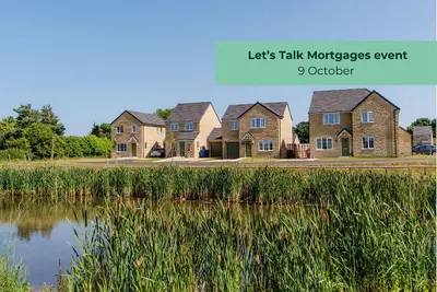
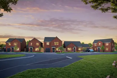
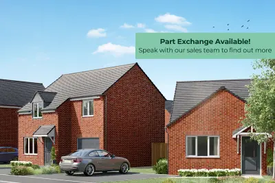
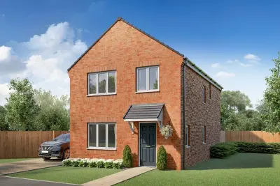
Poppy Fields by Gleeson Homes · Poppy Fields, Mareham Road, Horncastle, Lincolnshire, LN9 6NG
Gleeson Homes has 73 developments on Homello. Homes in Horncastle sold for a median £205,000 over the last year, £225 per sq ft; see house prices in Horncastle.
About Poppy Fields
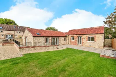
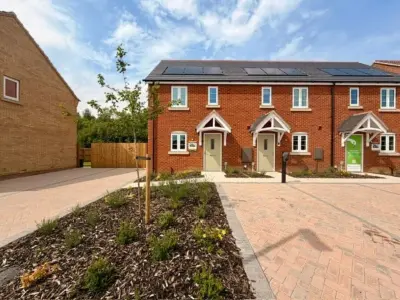
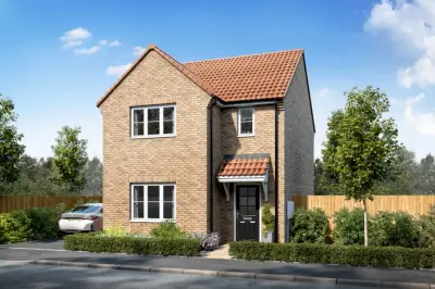
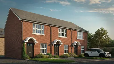
Poppy Fields is a new build residential development by Gleeson Homes, located on Mareham Road in the historic market town of Horncastle, Lincolnshire (LN9 6NG). The scheme is set to deliver a total of 169 new homes, focusing on making homeownership achievable for a range of buyers, from first-time homeowners to families. The development offers a mix of 2, 3, and 4-bedroom new build homes, available in both semi-detached and detached configurations, all sold on a Freehold basis.
The properties at Poppy Fields are designed with a focus on practicality and affordability, consistent with Gleeson Homes' established business model. Key features across the house styles include spacious living areas and combined kitchen-diners, with many layouts benefiting from French doors that open onto the rear garden. Specific plots also include driveways. All new build homes come with a standard 10-Year warranty for purchaser peace of mind. Poppy Fields is situated approximately a mile from Horncastle town centre, a location that offers both convenient local amenities and access to the wider Lincolnshire region. Daily essentials are catered for by a Tesco Superstore, Co-op Food, and Heron Foods, all located within a six-minute drive. The town centre itself is known for its selection of shops, galleries, traditional pubs, and restaurants, including local spots like Magpies Restaurant (0.9 miles). Transport links are predominantly road-based, with the A158 just minutes from the development. This major route facilitates commuting, allowing travel to the cathedral city of Lincoln in approximately 35 minutes to the west, and the coastal town of Skegness in approximately 30 minutes to the east. For public transport, a bus stop located less than half a mile away provides access to the 56 InterConnect bus service, which connects to nearby villages and Skegness. The area is also positioned well for families, with Banovallum School (Secondary) only a 10-minute walk away (approximately 0.2 miles) and both Horncastle Primary School and Queen Elizabeth's Grammar School reachable within a five-minute drive. Gleeson Homes has a long track record, having built homes for over 100 years, and is known for delivering low-cost housing. Prospective buyers should be aware that the developer operates on a budget model, which may result in a more 'basic' internal finish compared to premium new build developments. Public feedback on the developer's track record is mixed, with the company rated 3.64 out of 5.00 on a review platform, reflecting a variation in buyer experiences regarding finishes and after-sales support. The Sales Centre and Show Homes at Poppy Fields are currently open Thursday to Monday from 10am to 5pm for viewings and enquiries. Contact the developer for the most current plot availability and specific sales incentives.
- Developer
- Gleeson Homes
- City
- Lincolnshire
- Neighbourhood
- Horncastle
- Postcode
- LN9 6NG
- Address
- Poppy Fields, Mareham Road, Horncastle, Lincolnshire, LN9 6NG
- Tenure
- For sale
Questions about Poppy Fields
›Who is the developer of Poppy Fields?
Poppy Fields is a Gleeson Homes development in Horncastle, Lincolnshire. Gleeson Homes has 73 developments listed on Homello.
›What are house prices like in Horncastle?
The median sold price in Horncastle was £205,000 over the last 12 months (164 sales, −10.9% on the year before), or £225 per square foot, from HM Land Registry data. The house prices in Horncastle page has the trend, prices by property type and every street.
Location
Poppy Fields, Mareham Road, Horncastle, Lincolnshire, LN9 6NG
Nearest schools
- The Banovallum School 0.2 milesSecondary · ages 11–16 Good
- St Lawrence School 0.7 milesages 5–16 Good
- Horncastle Primary School 0.7 milesPrimary · ages 3–11
- Queen Elizabeth's Grammar School, Horncastle 0.9 milesSecondary · ages 11–18
Nearest supermarkets
- Spar Convenience store 0.5 miles
- The Co-operative Food Supermarket 0.7 miles
- The Co-operative Food Supermarket 0.7 miles
- Heron Convenience store 0.7 miles
Eating out nearby
- The Black Swan 0.5 milesPub or bar
- Magpies Restaurant 0.6 milesRestaurant or cafe
- The Big Chair Company 0.6 milesRestaurant or cafe
- Harpars 0.6 milesRestaurant or cafe
Straight-line distances; actual routes will be longer. Stations from NaPTAN, with their lines powered by TfL Open Data; schools from the Department for Education register, with the latest Ofsted signal; supermarkets from Geolytix Retail Points; places to eat from the Food Standards Agency's register of food businesses.
Area insights
The East Lindsey neighbourhood around this development.
Sources: HM Land Registry price paid data, Police.uk, Historic England, ONS Census 2021, Ofcom Connected Nations, Environment Agency. Planning offices.

We have not been able to confirm current prices here recently.
Checked on the Gleeson Homes website on 28 October 2026.