Land at Cossham Street by Taylor Wimpey · Mangotsfield, BS16 9JA, South Gloucestershire
Planned
Taylor Wimpey has 193 developments on Homello. Homes in Bristol sold for a median £350,000 over the last year, £388 per sq ft; see house prices in Bristol.
About Land at Cossham Street
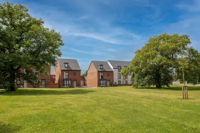
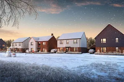
Land at Cossham Street is a proposed new build development by Taylor Wimpey, a volume housebuilder with a track record that includes a 5-star rating for customer satisfaction from the Home Builders Federation (HBF). The site is located in the established village of Mangotsfield, South Gloucestershire, postcode BS16 9JA. The current proposals outline plans for approximately 150 new build homes, which will comprise a mix of one, two, three, and four-bedroom properties.
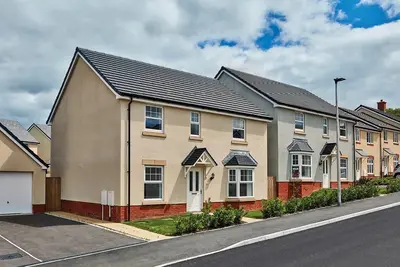
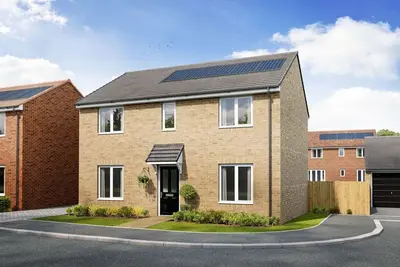
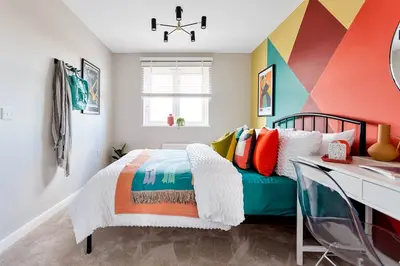
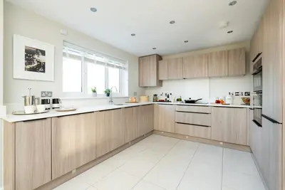
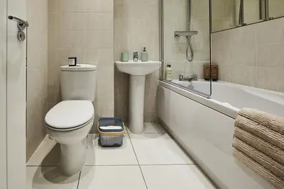
This product mix is designed to cater to a range of buyers, from first-time homeowners and young professionals to growing families and downsizers. A significant component of the scheme includes 35% of the homes designated as affordable housing, in line with South Gloucestershire Council’s housing objectives. The site itself spans approximately five hectares and is centrally situated within the village, located between Mangotsfield United Football Club to the north and Mangotsfield School to the south. While specific floorplans and elevations for the Land at Cossham Street development are yet to be finalised and released, the proposed residential mix includes 1, 2, 3, and 4-bedroom new build homes. Buyers can expect the design and specification to align with the high standards seen across the Taylor Wimpey Bristol division, which offers contemporary layouts suitable for modern living. Examples from other nearby Taylor Wimpey developments indicate potential house types could range from one-bedroom apartments to detached family homes featuring en-suites, garages, and landscaped gardens. Specific energy efficiency ratings, square footage, and individual plot specifications will be confirmed upon the formal planning application approval and sales release. This Mangotsfield location provides excellent connectivity to Bristol and Bath via multiple transport links. For commuters, the area offers direct access to the M32 motorway, which links the M4 (Junction 19) to Bristol city centre. Access to the A4174 Bristol Ring Road is also easily achieved via M32 Junction 1, facilitating travel across the North Fringe area. Public transport is well-served by the First Bus network; the Line 48 bus provides a direct route from Christchurch Avenue, Mangotsfield, to the Old Market Street area near Bristol Temple Meads, with a journey time of approximately 29-41 minutes. For leisure, the popular Bristol-Bath Cycle Path runs close to the area. Local amenities are readily accessible. Mangotsfield School, a secondary education provider, is directly adjacent to the site. Mangotsfield Primary School and Downend School are also nearby. The local high streets of Downend and Staple Hill offer a range of independent shops and services. Additionally, Emersons Green Retail Park, which includes a local library, is located approximately 15 minutes away on foot. Local hospitality includes The Grapevine pub, known for its friendly atmosphere and food, as well as nearby restaurants in Downend such as Mezzè at The Green Dragon and The Duck & Willow. The Land at Cossham Street development is currently in the proposal and pre-planning application stage; no plots are officially released for sale at this time. Official house prices for the new build homes are to be confirmed upon launch. For contextual pricing in the local area (BS16), the average sold price on Cossham Street over the last year was £300,000. Pricing for new Taylor Wimpey homes in the wider area typically ranges from approximately £240,000 for a one-bedroom apartment up to £495,000 for a four-bedroom detached property. Interested purchasers should register their details with Taylor Wimpey Bristol to receive updates on the planning application progress, official property release dates, and pricing information.
- Developer
- Taylor Wimpey
- City
- South Gloucestershire
- Neighbourhood
- Mangotsfield
- Postcode
- BS16 9JA
- Address
- Mangotsfield, BS16 9JA
- Bedrooms
- 1–4
- Total homes
- 140
- Tenure
- For sale
Facilities
- Play area
- Green space
Questions about Land at Cossham Street
›Who is the developer of Land at Cossham Street?
Land at Cossham Street is a Taylor Wimpey development in Mangotsfield, South Gloucestershire. Taylor Wimpey has 193 developments listed on Homello.
›Is Land at Cossham Street still selling?
Land at Cossham Street is marked "coming soon", planned. Use the enquiry button to check current availability with Taylor Wimpey.
›What are house prices like in Bristol?
The median sold price in Bristol was £350,000 over the last 12 months (10,946 sales, +0.0% on the year before), or £388 per square foot, from HM Land Registry data. The house prices in Bristol page has the trend, prices by property type and every street.
›What type of homes are at Land at Cossham Street?
Land at Cossham Street offers houses and apartments, 1–4 bedroom homes, 140 homes in total. Homes are sold outright by Taylor Wimpey.
Location
Mangotsfield, BS16 9JA
Nearest stations
- Oldland (Avon Valley Railway) Station 2.8 miles
- Bristol Parkway Station 3.3 miles
- Bitton (Avon Valley Railway) Station 3.6 miles
- Stapleton Road Station 3.7 miles
Nearest schools
- Mangotsfield School 0.2 milesSecondary · ages 11–16 Needs attention
- Mangotsfield Church of England Primary School 0.4 milesPrimary · ages 4–11
- Barley Close Community Primary School 0.4 milesPrimary · ages 5–11 Good
- Emersons Green Primary School 0.6 milesPrimary · ages 4–11
Straight-line distances; actual routes will be longer. Stations from NaPTAN; schools from the Department for Education register, with the latest Ofsted signal.
Area insights
The South Gloucestershire neighbourhood around this development.
Sources: HM Land Registry price paid data, EPC register, Police.uk, Historic England, ONS Census 2021, Ofcom Connected Nations, Environment Agency. Planning offices.
Register for launch pricing and availability.