Barming P3 by Taylor Wimpey · Land north of Broomshaw Road, Barming, Kent ME16 9HA
Taylor Wimpey has 252 developments on Homello. Homes in Maidstone sold for a median £365,000 over the last year, £384 per sq ft; see house prices in Maidstone.
About Barming P3
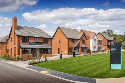
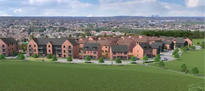
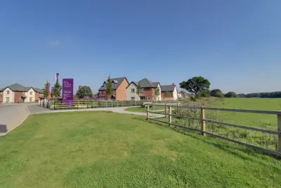
Barming P3 is the third and final phase of a major new build homes development by Taylor Wimpey, located on land north of Broomshaw Road in the parish of Barming, Kent (ME16 9HA). This section of the development follows the successful completion of Phase 1 (2023) and the ongoing construction of Phase 2A, known as Oakapple Place. The development comprises a proposal for up to 100 new, energy-efficient homes, granted Outline Planning Permission for up to 118 units in 2022.
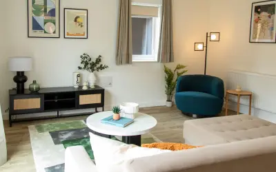
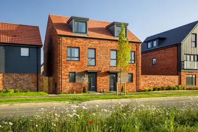
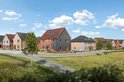
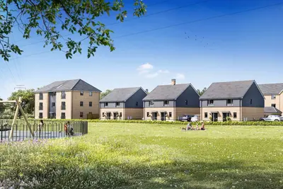
Taylor Wimpey submitted the Reserved Matters planning application for Barming P3 to Tonbridge and Malling Borough Council (TMBC) on July 8, 2024 (reference 24/01084/PA). The first new homes on this phase are projected for delivery from 2027 onwards. The Barming P3 masterplan includes a mix of new build properties ranging from two-bedroom to four-bedroom homes, alongside a proportion of affordable housing, consistent with the wider Barming development. Specific property designs for this phase will focus on high energy efficiency, including features designed to help reduce long-term running costs. g., The Easedale). Internal features are set to include modern, integrated kitchens and specific layouts like the three-bedroom Braxton design, which offers three floors of living space. Community benefits within Barming P3 will include circa one hectare of new accessible open space and a dedicated children’s play area, connecting with the overall community masterplan. The development benefits from specific and direct connectivity to central Kent and London. Barming Railway Station is located under one mile from the site, offering commuter rail services with a fastest journey time to London Victoria of 57 minutes, and London (All Stations) in under an hour. Maidstone East station provides further options, including services to London Charing Cross in as little as 1 hour and 12 minutes. Road access is facilitated by its proximity to the M20 motorway network. Local bus services, including Nu-Venture routes 78 and 88, provide connections to Maidstone Town Centre, which is located less than two miles away, and Maidstone West Station. The locality is served by Barming Primary School and Jubilee Primary School (approx. 0.7 miles), in addition to secondary options like Oakwood Park Grammar School (approx. 0.9 miles). Local amenities include The Bull Barming pub, Mockbeggar Farm Shop with its on-site Tea Room, and a variety of dining options in nearby East Barming, such as the acclaimed Fish on the Green. Leisure facilities are available at Maidstone Town Centre and the expansive Mote Park. Taylor Wimpey holds a 5-Star rating for customer satisfaction from the Home Builders Federation (HBF), reflecting that over 9 out of 10 customers would recommend them to a friend. Interested parties are advised to contact the developer for the current Reserved Matters planning status, specific home specifications, and pre-sales information for Barming P3.
- Developer
- Taylor Wimpey
- City
- Kent
- Neighbourhood
- Barming
- Postcode
- ME16 9HA
- Address
- Land north of Broomshaw Road, Barming, Kent
- Total homes
- 1
- Tenure
- For sale
Questions about Barming P3
›Who is the developer of Barming P3?
Barming P3 is a Taylor Wimpey development in Barming, Kent. Taylor Wimpey has 252 developments listed on Homello.
›What are house prices like in Maidstone?
The median sold price in Maidstone was £365,000 over the last 12 months (1,948 sales, −1.4% on the year before), or £384 per square foot, from HM Land Registry data. The house prices in Maidstone page has the trend, prices by property type and every street.
›What type of homes are at Barming P3?
Barming P3 offers houses, 1 homes in total. Homes are sold outright by Taylor Wimpey.
Location
Land north of Broomshaw Road, Barming, Kent, ME16 9HA
Nearest stations
- East Farleigh Station 0.8 milesSoutheastern
- Barming Station 1.7 milesSoutheastern
- Maidstone West Station 2.1 milesSoutheastern
- East Malling Station 2.1 milesSoutheastern
Nearest schools
- Barming Primary School 0.4 milesPrimary · ages 2–11
- St Helens Montessori School 0.5 milesIndependent · ages 2–12
- Jubilee Primary School 0.9 milesPrimary · ages 2–11 Outstanding
- Bower Grove School 0.9 milesSpecial · ages 4–16
Nearest supermarkets
- Sainsburys Local Convenience store 0.8 miles
- Tesco Express Convenience store 1.0 miles
- Marks and Spencer Hospital Convenience store 1.2 miles
- Tesco Express Esso Convenience store 1.2 miles
Eating out nearby
Within half a mile: 2 pubs and bars.
- The Bull 0.1 milesPub or bar
- The Redstart Inn 0.3 milesPub or bar
- The Victory 0.8 milesPub or bar
- Melad Tandoori 0.8 milesRestaurant or cafe
Straight-line distances; actual routes will be longer. Stations from NaPTAN, with their lines powered by TfL Open Data; schools from the Department for Education register, with the latest Ofsted signal; supermarkets from Geolytix Retail Points; places to eat from the Food Standards Agency's register of food businesses.
Area insights
The Maidstone neighbourhood around this development.
Sources: HM Land Registry price paid data, Police.uk, Historic England, ONS Census 2021, Ofcom Connected Nations, Environment Agency. Planning offices.

We have not been able to confirm current prices here recently.