All Saints by Gleeson Homes · Curlew Way, Ferryhill, County Durham DL17 8BU
Under construction
Gleeson Homes has 73 developments on Homello. Homes in Ferryhill sold for a median £102,000 over the last year, £121 per sq ft; see house prices in Ferryhill.
About All Saints
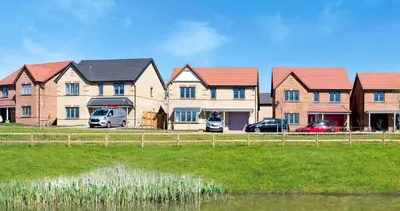
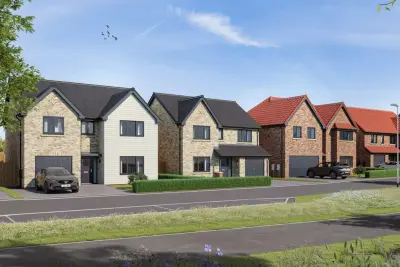
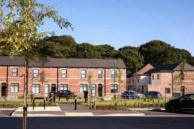
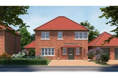
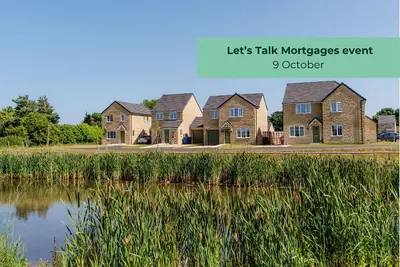
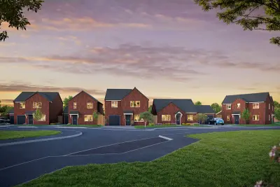
All Saints is a new build residential development by Gleeson Homes, located on Curlew Way in the town of Ferryhill, County Durham (DL17 8BU). The development offers a mix of freehold 2, 3, and 4-bedroom properties, catering to first-time buyers, families, and professionals in the North East region. The design philosophy focuses on providing affordable, high-quality homes, with a commitment to maintaining low property prices.
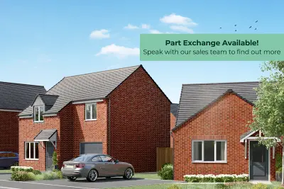
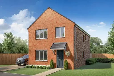
The development comprises a selection of house types, including semi-detached and detached configurations. Standard specifications across the development include a turfed front garden and a private rear garden. Buyers can expect high-quality finishes from well-known brands, such as a choice of Symphony kitchen units and Porcelanosa tiles in bathrooms. Newer homes on the development are also being built with Air Source Heat Pumps for efficient heating. All new build properties are covered by a 10-Year Warranty (2 years with Gleeson and 8 years with NHBC). All Saints benefits from strong road connectivity, being situated with easy access to the A167 and the major A1(M) motorway. Commuting by car is efficient, with estimated driving times of approximately 16 minutes to Durham, 26 minutes to Darlington, and 40 minutes to Newcastle upon Tyne. Public transport is available via the Arriva North East Line 7 bus, which provides an approximate 18-minute journey to Durham for onward rail connections. The closest major railway station is Durham, which offers direct services to major UK cities. Local services are readily accessible. Primary education is available at Dean Bank Primary and Nursery School (approx. 0.4 miles), and secondary education at Ferryhill School (approx. 0.9 miles). Healthcare needs are addressed by the Ferryhill Medical Practice (approx. 1.1 miles). Local amenities in Ferryhill include supermarkets, charming local shops, and eateries. For larger retail options, Durham City Retail Park is located approximately 9.3 miles away. Leisure opportunities include the Ferryhill Sport & Education Centre and the scenic Hardwick Hall-Durham Country Park (approx. 5.4 miles). Gleeson Homes specialises in delivering low-cost, high-volume properties across the North of England, aiming to open homeownership to first-time buyers. The development offers freehold tenure. The first homes have been released for sale, with sales currently being managed from the nearby Bracks Farm development in Bishop Auckland (DL14 8DN). Interested parties should contact the developer directly to confirm the availability of specific house types (e.g., Cork, Tyrone, Carlow), current pricing, and to arrange viewing appointments as show homes are subject to completion status. Further plot-specific details, such as council tax banding and final completion dates, are to be confirmed upon enquiry with the sales team.
- Developer
- Gleeson Homes
- City
- County Durham
- Neighbourhood
- Ferryhill
- Postcode
- DL17 8BU
- Address
- Curlew Way, Ferryhill, County Durham
- Tenure
- For sale
Questions about All Saints
›Who is the developer of All Saints?
All Saints is a Gleeson Homes development in Ferryhill, County Durham. Gleeson Homes has 73 developments listed on Homello.
›Is All Saints still selling?
All Saints: under construction. Use the enquiry button to check current availability with Gleeson Homes.
›What are house prices like in Ferryhill?
The median sold price in Ferryhill was £102,000 over the last 12 months (225 sales, +8.5% on the year before), or £121 per square foot, from HM Land Registry data. The house prices in Ferryhill page has the trend, prices by property type and every street.
Location
Curlew Way, Ferryhill, County Durham, DL17 8BU
Nearest stations
- Newton Aycliffe Station 4.9 milesNorthern
- Shildon Station 5.1 milesNorthern
- Bishop Auckland Station 5.2 milesNorthern
- Bishop Auckland West Station 5.4 miles
Nearest schools
- Dean Bank Primary and Nursery School 0.5 milesPrimary · ages 3–11
- Broom Cottages Primary & Nursery School 0.5 milesPrimary · ages 3–11
- The Woodlands 0.5 milesages 6–16
- Cleves Cross Primary and Nursery School Academy 0.8 milesPrimary · ages 3–11
Nearest supermarkets
- The Co-operative Food Convenience store 0.5 miles
- Sainsburys Local Convenience store 0.7 miles
- Spar PFS Convenience store 1.1 miles
- Sainsburys Local Convenience store 1.4 miles
Eating out nearby
Within half a mile: 3 restaurants and cafes, 2 pubs and bars, 3 takeaways.
- Ferryhill LADDER Centre 0.2 milesRestaurant or cafe
- The Wood N Spoon Cafe 0.4 milesRestaurant or cafe
- Toshachs Cafe @ no19 0.4 milesRestaurant or cafe
- Broom Chippy and Pizza Bar 0.4 milesTakeaway
Straight-line distances; actual routes will be longer. Stations from NaPTAN, with their lines powered by TfL Open Data; schools from the Department for Education register, with the latest Ofsted signal; supermarkets from Geolytix Retail Points; places to eat from the Food Standards Agency's register of food businesses.
Area insights
The County Durham neighbourhood around this development.
Sources: HM Land Registry price paid data, Police.uk, Historic England, ONS Census 2021, Ofcom Connected Nations, Environment Agency. Planning offices.

We have not been able to confirm current prices here recently.
Checked on the Gleeson Homes website on 28 October 2026.